The Grounds of the Allied Paper Company
We will start our tour of the grounds of the Allied Paper company near the
former Bryant Millpond across the street from Mill C:
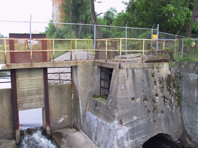
This is the dam that once formed the Bryant Millpond. Beyond
the fence is the former millpond and waste disposal areas. There were also more
mill buildings back there at one time. The entire area is now fenced off because
of the pollution - the area is contaminated with PCBs from de-inking of carbonless
copy paper which used to be made with PCBs. Originally, these chemicals were
just dumped into the millpond. Later on in the operation of the mill, the waste
water would be "treated" and then the residuals from the treatment
process were put in a landfill, which evidently formed the banks of the river.
Smooth thinking, there. Crews are currently working to deploy measures intended
to prevent the further erosion of these residuals into the river.
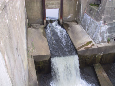
These days, the water just flows through on its merry way...
...and under the road over toward Mill C.
And here's the front (the southern side) of Mill C (the Bryant
Mill) as it exists today, looking from left to right:
The left-most portion of the mill, along with an extremely large
tank (I wonder what that used to hold - fresh water to be used in a manufacturing
process? used process water awaiting treatment? some chemical?). You can also
see the viaduct which runs all the way to the right to the powerhouse. To the
left of the photograph, it currently terminates when it reaches the street,
but it used to run across the street to the other mill buildings or perhaps
to the water treatment buildings.
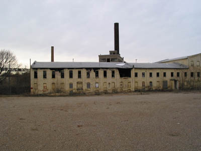
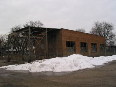
The portion of Mill C visible in this picture consists mostly
of office and laboratory space, at least on the upper floor. This portion of
the mill was set on fire on October 18th, 2001, as you can probably see from
the burn marks coming out of the windows and the missing/burned portion of the
wall in the middle of the photo. We don't know what is in the basement
of this portion of the mill since we've never gone down there, and probably
never will now that it has been damaged so badly by the fire.
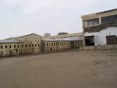
Here's the business portion of the mill - most of the manufacturing
areas and such are in this section of the building. The main warehouse/storage
room can be seen to the far right.
The size of this warehouse building/room (it's just one large
room inside) is staggering. I encourage you to take the Mill
C tour after you're done here for a look inside this and the other parts
of Mill C.
Let's walk over and have a look at the eastern side of Mill C
[straight ahead down the railroad tracks then take a left, from the perspective
of the picture above]:
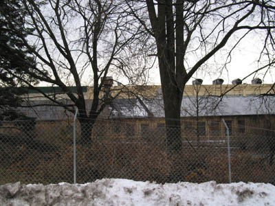
A lot of trees and brush grow here.
The four ventilators in a row visible on the roof were formerly
exhausts for the No. 6 paper machine.
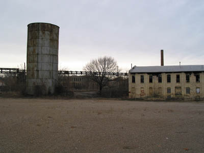
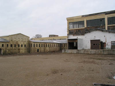
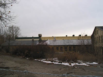
A nice view of some of the Mill C conglomeration, with Mill
D's smokestack in the background.
People used to be able to walk closer to the buildings than
this before the city built the fence.
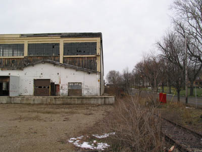
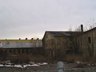
The "Roll Grinding Room" is located just to the east
of Mill C. This building contained equipment used to grind the surfaces of the
paper machine rollers, presumably in order to give them smooth and even textures.
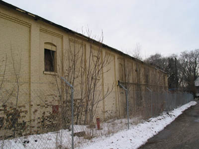
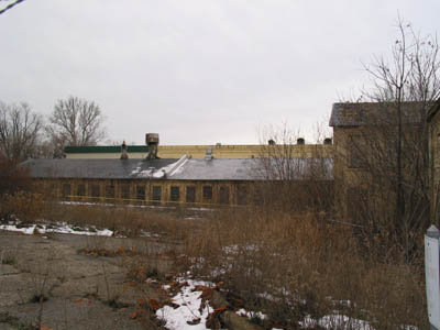
Walking north a little way along the eastern side of Mill C, the building looks
rather bland.
That's all for the eastern side of
Mill C, so let's head on to the back (north) side of the mill.