My collection of photographs of the area around Mill D, Portage Creek, the remnants of Mill E, and the Power Plant is by no means comprehensive, so they are not presented in any type of systematic order.
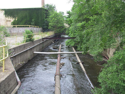
Portage Creek runs pretty much north and south, just to the west of Mill C:
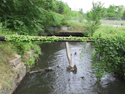
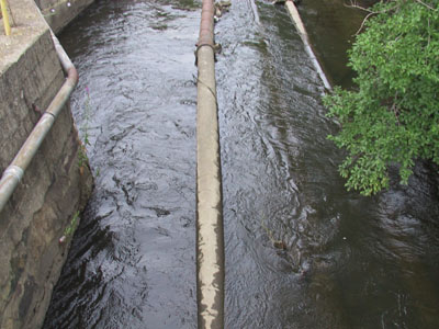
The sight of all those pipes running through the river is
just something else.
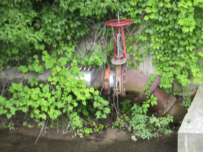
That valve color-coordinates nicely with the surrounding foliage...
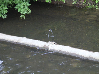
I'm really hoping that that is just caused by river water pressurizing the
pipe at an open point upstream. I'm quite sure that's it though.
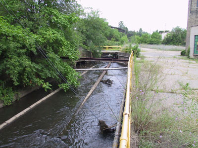
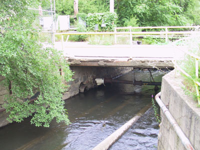
Looking upstream toward the former Mill E...
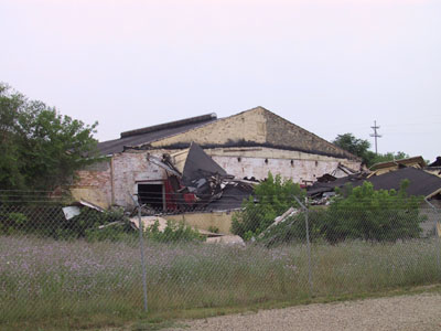
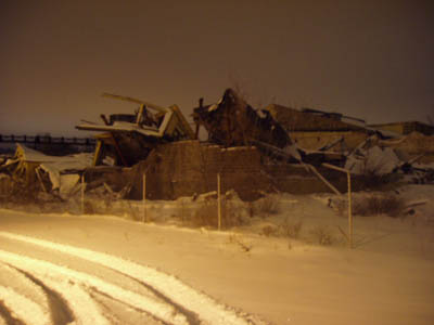
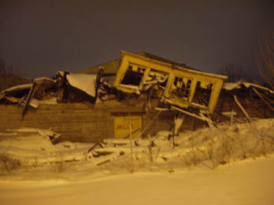
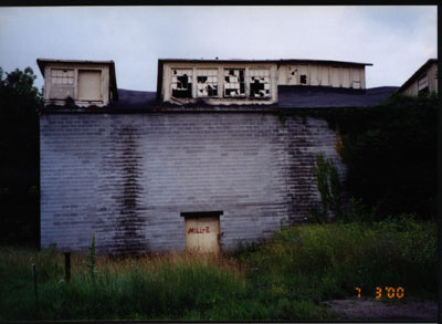
When we first found the Allied Paper complex, much of Mill E had been torn down. However, in December 2000, the remaining portions of Mill E collapsed under the weight of a heavy snow. Here are some images of Mill E, before and after the collapse:
*
*
*
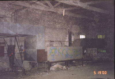
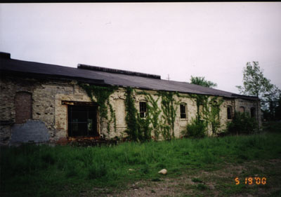
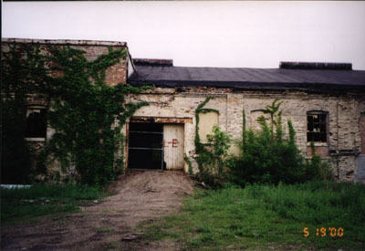
Peeking inside the door, there wasn't a lot left of Mill E
even before the collapse. *
And here is Mill E as it appears today: